
Pollution down around Homerton low traffic neighbourhood
Pollution reduced significantly in and around Homerton’s low traffic neighbourhood last year, new analysis from Hackney Council shows.
Comparing nitrogen dioxide pollution - which is known to cause reduced lung function and increased inflammation of the airways - in 2020 with the previous year, the analysis shows that nitrogen dioxide levels reduced at eight out of nine sites monitored, with no change at the ninth.
On boundary roads around the low traffic neighbourhood, there was an average reduction of 21.8% in nitrogen dioxide concentrations, with all below national air quality objectives of 40ug/m3.
Inside the low traffic neighbourhood, there was an average reduction of just over 40% in nitrogen dioxide concentrations, with these also below the national air quality objective.
While the reductions in nitrogen dioxide concentrations are partially attributable to lower levels of background traffic during lockdown months, other factors that have helped to reduce motor vehicle usage are also likely to have had an impact.
NO annual mean concentrations at monitoring locations within and on boundary roads
Road | Air Quality Monitor (Diffusion Tube) | Within or on the boundary of the LTN | NO2 Annual Mean 2019 Concentration (ug/m3) | NO2 Annual Mean 2020 Concentration (ug/m3) |
Homerton High Street | Homerton High Street | Boundary | 48 | 36 |
Kenworthy Road | Kemey’s Street | Boundary | 32 | 27 |
Wick Road east of jw Barnabas Rd | St Dominic's 4 | Boundary | 39 | 29 |
Wick Road west of jw Barnabas Rd | Berger Primary School 2 | Boundary | 38 | 27 |
Glynn Road | Homerton University Hospital 3 | Boundary | 37 | 37 |
Barnabas Road (South of Hassett Rd) | Barnabas Road 2 | Boundary | 31 | 20 |
Barnabas Road (North of Daley Rd) | Barnabas Road 3 | Within | 31 | 20 |
Daubeney Road (south of Ashenden Rd) | Daubeney Primary School | Within | 37 | 21 |
Daubeney Road (North of Ashenden Rd) | Daubeney Primary School | Within | 37 | 21 |
Note: Any concentrations in bold are in exceedance of the annual mean NO national air quality objective (NAQO) 40μg/m
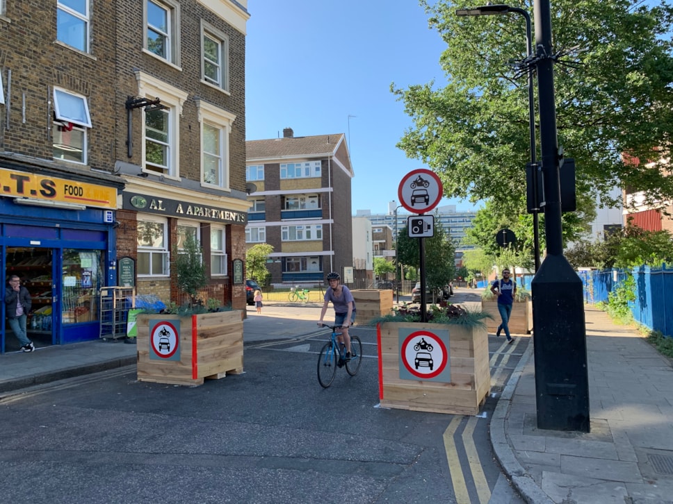
We have one of the biggest programmes of School Streets and low traffic neighbourhoods in the country, which are helping to rebuild a greener Hackney after the pandemic, and support people to walk, shop and cycle locally.
We’ve been completing comprehensive traffic air quality monitoring in and around our low traffic neighbourhoods - including Homerton LTN, where last week we shared data showing reductions in traffic in and around the area.
These reductions in air pollution in Homerton cannot be attributed directly to the effect of the LTN, but are likely to have been influenced by reductions in motor vehicle usage in the area. Alongside traffic data, I hope they demonstrate the benefits LTNs can have, and reassure residents who live on boundary roads about their effects there.Cllr Mete Coban MBE, Cabinet Member for Energy, Waste, Transport and Public Realm