
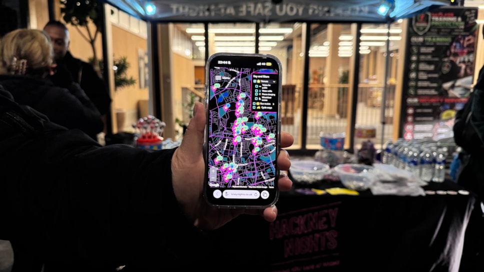
New Hackney ‘night map’ puts toilets, phone charging and routes home in your pocket
Hackney Council has launched a new interactive map to help people find toilets, drinking water, phone charging and routes home when they’re out at night.
The Hackney Nights map, created by Igloo, allows users to find nearby venues and other nightlife spaces offering essential facilities and additional support, check opening times and identify wheelchair-accessible locations. Using their location, people can also find nearby live bus routes and cycling paths to help plan their journey home.
From grassroots music venues to late-night bars and cultural spaces, the map is designed to make it easier for people to navigate Hackney after dark and know where to turn if they need help.
The map can be accessed on the go by scanning QR codes displayed on posters in venue windows and on keyrings across the borough. Every venue featured is council-accredited as part of the Hackney Nights initiative, meeting standards intended to support a safer, more inclusive nightlife.
The launch forms part of Hackney Council’s wider Hackney Nights campaign, which aims to ensure the borough’s night-time economy can thrive while people feel safe and supported.
Since Hackney Nights began in 2019, the council has trained 4,400 members of staff in safeguarding at nightlife venues across the borough.
Over the coming year, the council is changing the way licensing, planning and noise work as well as creating a new Cultural Strategy which will include nightlife and support social and cultural spaces.
Cllr Sam Mathys, Cabinet Member for Culture, Leisure, Nightlife and Business Regulation, said: "Hackney has the best nightlife in London, and it's where so many people find their community.
“This map will support all those who enjoy our nightlife and our upcoming policy work will ensure these spaces can thrive."
Click here to access the map.